I’ve been working on a side project since I was inspired by NVIDIA’s Digital Twin Omniverse.
I wondered if there is a easy way to use data and tools that are open sourced to create a similar Blender API App. With Google & NASA information combined with blenders ray-tracing technology and built in python API tool I’ve been slowly working on creating this tool.
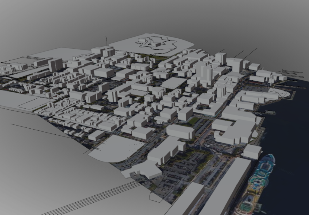
I decided to go with Halifax for my location since 3d models of the city are few and far between, proving it can be created at any location.
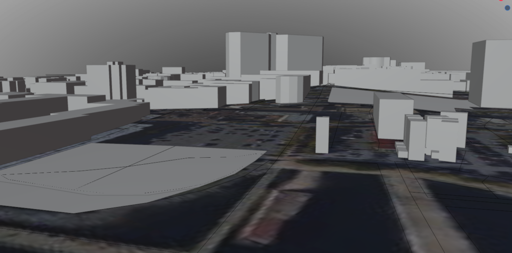
With some tutorials and trials and error I was able to make part of downtown. This includes buildings, parks and the ground with accurate elevations.
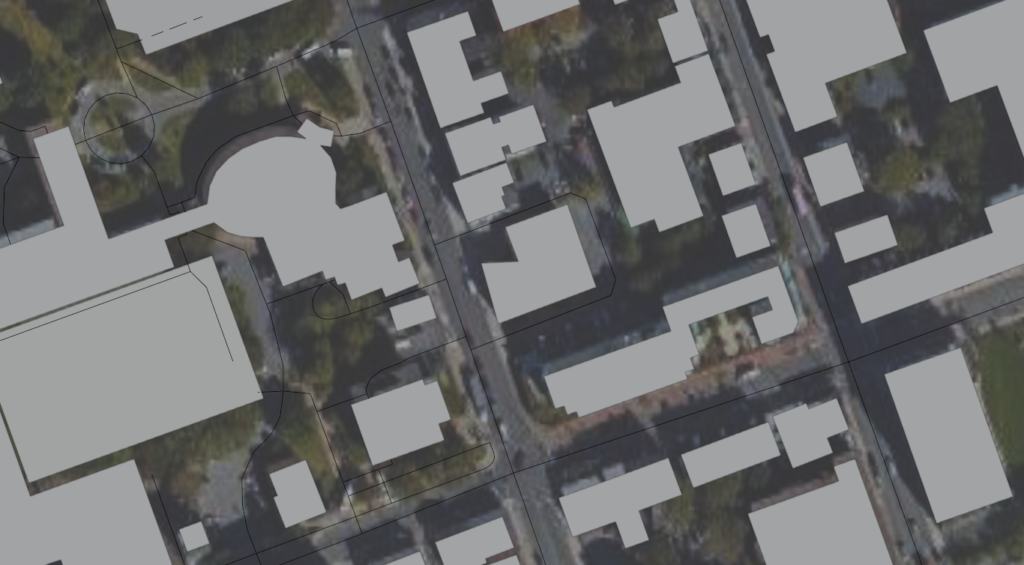
As you can see, the buildings line up pretty good when comparing to satellite imagery as seen above and the code can be improved as seen in the snippet below.
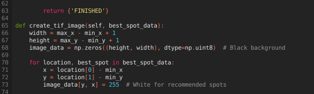
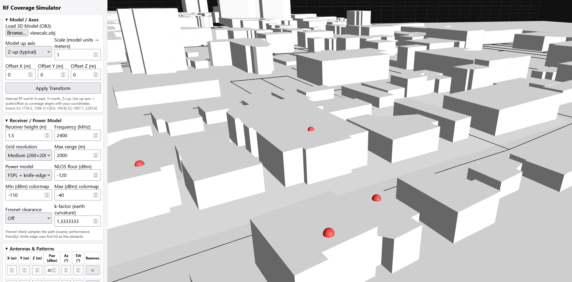
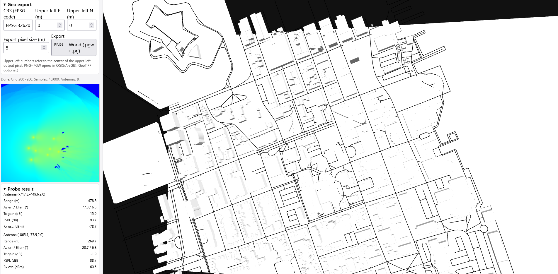
The lastly I wrote my own API that will generate a 2D image of the best spots in the city that sees the most ground directly. This in theory would allow for high-band radio frequency placements to reduce overlap, interference and to find best locations for antenna placements/directions. More work needs to be done to make the ray tracing more accurate without crashes and possibly automate the whole process of designing these systems.
UPDATE 2025-08-08
GPT-5 Thinking is so good. Been working on homemade digital twin and now with some bug fixes and added features its so good now.